One of the first things that pilots learn in flight training is the concept of pilot in command. The Federal Aviation Regulations provide a simple definition in Part 1:
pilot in command means the person who:
(1) Has final authority and responsibility for the operation and safety of the flight;"
The definition is as simple as it is profound. The ultimate authority and responsibility for flying well, and safely, resides with the person acting as pilot in command of the aircraft.
The following audio recording was made on 8 August 2009. On the recording are two pilots approaching to land at Leesburg Executive Airport (KJYO). The audio has been edited to take out some rantings by the observers, and reduce the intervals between silence, so it is not real-time.
Frankly, this communication exchange is becoming more common; indicative of a real issue that all pilots need to consider. Are you pilot in command, or do you rely on others to operate your airplane?
Now, this is not to say or indicate that pilots should impose their authority on others - a recording of that will no doubt be coming forth in the near term as there is plenty of that out there to be heard (actually already have that in the recording files).
Finally, FAA Advisory Circular 90-66a states that "Landing and takeoff should be accomplished on the operating runway most nearly aligned into the wind.
So, what runway are 'you' using?
Tuesday, August 11, 2009
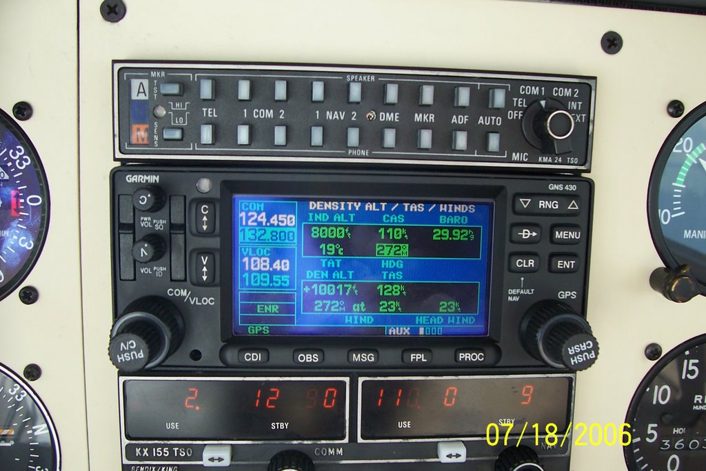
Friday, August 18, 2006
The Toledo Express
The family was scheduled to drive out to MI for a family birthday with my in-laws. I really wanted to go, but I do have a lot of things going on and felt that it would be better from a work/life balance perspective to keep going, especially since some of the activities are of the away from home variety anyway.
So, instead of driving 11 hours, I suggested that I fly them to Toledo and return home. They picked up a rental car in TOL to drive the remaining two hours, and I flew back to Leesburg. The flight out was very uneventful with very little haze or clouds. We even had a slight tailwind.
The return flight was equally uneventful except that the time to climb was noticeably shorter. I made a PIREP just west of the BSV VOR. After the report I checked back in with Cleveland center and decided to monitor 121.50. Much to my surprise, I was receiving a very strong Emergency Locator Transmitter (ELT) signal. This was a first for me. I reported that to the Center controller who said that he had received other reports at all altitudes as well. A quick check of the GPS showed that I was passing over the New Philadelphia airport (KPHD). I suspect there was an airplane transmitting a signal on the ground there.
Tuesday, August 08, 2006
Flight of the Guinea Pig
I was selected to participate in a NASA research study a few weeks ago, so yesterday I flew down to Newport News (KPHF) for an interview with the research team. I also spent some time wearing the Oculometer for calibration purposes. The goal of the study is to evaluate GA piloting performance while interacting with datalink weather services.
The flight down was mostly uninteresting until just northwest of the airport. Apparently there was some maneuvering traffic below me that I passed over and avoided, but never saw. Visibility was pretty bad and I will log a good portion of the flight as actual. The haze was thick until I got closer to Norfolk.
Upon rollout and landing on runway 20, I turned onto Charlie and taxied to Mercury at about 1:2opm for a 2:00pm appointment. The sequence was textbook in terms of the utility of GA flight in action. The project folks had arranged a car for me. I parked the airplane with directions from the lineman, hopped out, grabbed my bag, closed up the airplane and put the cover on. I grabbed the keys and jumped in the rental car, drove the 11 miles to the facility and was on time for my 2:00pm appointment, which was interesting and fun. I learned a lot about the MX20, a device I have really never touched. I will be using it a lot when I pilot the NASA Stationair around VA NC and/or WV next month.
By 6pm, I was following the Garmin 3200 directions back to the airport in the rental car. I filed a flight plan enroute, and despite the heat and humidity, learned that the storms prognostication for 4pm onward would be no factor on the way back to Leesburg. After a quick human refueling courtesy of the golden arched restaurant, and some bio-recycling, it was time to taxi.
The clearance was HPW RIC COATT4, but nearing BRV, it was fly a 340 heading forever. The flight at 6000 was punctuated by continuous light chop from RIC to BRV, most likely somewhat a by-product of some intense convective activity NE of our position. The other noteworthy part of the cruise portion of the flight was the RJ flying the COLIN departure from RIC that was capped at 5. I was in the way at 6. Once in sight I approved the controllers request for visual separation and the jet streaked by about 2 miles ahead climbing to 9000.
Passing HEF on the western tour to JYO, and now well inside the ADIZ, I cancelled the IFR to join the Route 15 arrival at 1400'. The nice surprise, in addition to the direct destination, was the 141 knot groundspeed, which during cruise had been stuck at 121 knots. With the beacon in sight at 8 miles, I called it in with ATC and they dropped radar services and approved the frequency change. The airport was very quiet, so, I joined the crosswind for the 17 downwind, and completed a very uneventful flight.
3.1 hours on the meter.
Friday, July 21, 2006
Flight to Teterboro
I received a request Monday to fly an Angel Flight mission to NY City on Tuesday. My passenger snapped a few pictures.

Here is short final for 19 at Teterboro, (KTEB) (yeah well, this is called S-turns on final to allow the jet to get across the runway- yeah, that's it ;) )

Giants stadium in view on the departure off 24.

I'm glad we'll be turning to the left soon. No interest in penetrating that kind of IMC.

Unfortunately, the winds were aligned with our desired direction of flight.

The steady steed awaits another day of flying adventure.


Here is short final for 19 at Teterboro, (KTEB) (yeah well, this is called S-turns on final to allow the jet to get across the runway- yeah, that's it ;) )

Giants stadium in view on the departure off 24.

I'm glad we'll be turning to the left soon. No interest in penetrating that kind of IMC.

Unfortunately, the winds were aligned with our desired direction of flight.
The steady steed awaits another day of flying adventure.

Sunday, May 28, 2006
Missed on Memorial Day weekend
We scheduled a flight up to Hamilton, NY (H30) for the long weekend in N2871R. The weather was warm and moist, and the circulation and instability caused by low pressure descending eastward out of the Great Lakes made the weather analysis complex. However, the satellite showed that the sky cover was mostly broken across all of PA with a few complexes of heavy and severe precip. I decided to delay the flight to let the afternoon convection die down.
The number one rule for safe IFR in areas of thunderstorms is to stay visual with and avoid the weather. Closer to departure time, a narrow complex of thunderstorms stretched from Latrobe past Harrisburg moving east with a large area of convective activity east of Pittsburgh. Our route of flight was over Harrisburg, and the second rule for safe thunderstorm avoidance is to avoid flights cross/through lines of activity. If that is the plan, see rule one above.
We received our clearance out of Leesburg which was immediate right turn off runway 17, direct STILL, radar vectors MRB, HGR v377 HAR and on up through PA, passing over Selinsgove and Williamsport, then up over Binghamton and then destination.
Climbing out of Leesburg just after 8pm we were quickly on our way to HGR; P-40 was expanded, so we got the western routing, but it wasn't too bad. Closer to HGR, we were turned to SCAPE on v377, and then direct HAR. We checked in with HAR approach, and advised we could use some help with the weather. Harrisburg concurred and said that closer to HAR they would probably have to route us east.
It wasn't long after that when HAR recommended a deviation left of course to avoid activity west of victor airway 31. When I asked about direct SEG, we were told that the line of
weather was currently there as well. We could see the weather off our right wing and continued northbound toward clear skies. The late evening sun was still illuminating faint strands of high cirrus ahead - a sign that large weather complexes were not on our route of flight. So far so good.
As we neared Williamsport, the weather to our east was headed away and the light show we got near Selinsgrove came to an end. I asked NY center for a frequency change to talk to Flight Service. I got two responses to the call (Competition at the FSS. ;) ) The weather at IPT was reporting in as 1SM visibility, but from altitude it looked much better than that - the weather from flight service was a few minutes old. Syracuse weather was still overcast at 4000.
As the darkness prevailed, the visibility was decreasing and the gloomy view ahead suggested that we would soon be entering some weather. Binghamton airports started going in and out of view, and the lights below disappeared. IMC. Binghamton approach soon handed us off to Syracuse, and we got ready to shoot the GPS-A into Hamilton (H30).
The approach controller reported twice that moderate precipitation had enveloped the approach area, and I knew pretty well that it was just rain- there was nary a bump since we entered the weather. The rain got very heavy as we descended down to 5000, but did not last long. We crossed the VOR at about 4000 on a descent down to cross hutch at 3500. I stayed higher and then started the descent for the airport. As we got down to 2300' I looked for the airport lights I had turned on. They were already directly below us and I could see ragged looking clouds surrounding the airport.
Knowing that I needed greater than 2SM visibility, not able to determine whether or not I could keep a visual on the airport, and the town lights shrouded in haze to the south, it was an easy decision to avoid the sucker approach and power up for the missed approach. We turned back for HUTCH and called Syracuse approach. When queried for intentions, it was time to head for Syracuse.
We were told to expect the ILS 28, vectors through the approach course for the sequence. Ok. The airplane ahead of us reported ceilings at 850 feet. I picked up the lights at about 900' and the runway at about 800 feet, the ALFS-2 approach lights bright and welcoming. The water covered runway shimmered below and we continued the approach. I can honestly say that it was my best landing ever - there was no thud, whatsoever.
We taxied down to Landmark at about 11 and were glad to see they were still open. Since the rental car companies were well closed, the FBO lent us the crew car overnight and we headed back to Hamilton... through the foggy woods to gram's house.
I got up the next morning to return the crew car promptly and ferry the plane back to Hamilton. I spent the morning working on the airplane, adding oil and gas, and generally getting it re-organized. The slight slant of the ramp had allowed the fuel to migrate to the downhill tank, but that was easily corrected.
The weather finally lifted at about 1 and I logged the GPS-A approach again with the airport coming into view this time in good visibility. I cancelled IFR in the air. Marybeth and the kids were at the park about 1 mile or so from the airport and heard me fly in, so they came over and picked me up. We fueled and secured the aircraft. As we did, the skies cleared from overcast to scattered cumulus.
Subscribe to:
Posts (Atom)